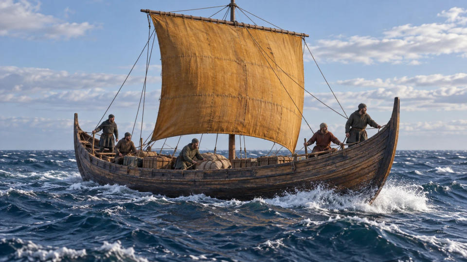
How Norse sailors navigated without magnetic compasses, and what archaeology and experiments reveal about Viking sunstones and seamanship.
Without a magnetic compass, an ocean horizon offers no convenient needle pointing north. Norse seafarers nevertheless made demanding voyages by combining learned observation, familiarity with routes and the practical handling of seaworthy ships. Possible instruments belong in this story, but no single recovered device explains their achievements. The strongest answer is accumulated seamanship, with important gaps in the evidence.
Here, “Vikings” refers broadly to Viking-Age Norse mariners, including people carrying goods rather than attacking settlements. Their navigation should not be reconstructed by simply removing the compass from a much later navigator's equipment.
Reading the Sea Before Looking for a Secret Instrument
The Viking Ship Museum emphasizes that natural navigation was a skill to learn, not an instinct everyone possessed. Many journeys followed coasts and waterways, where distinctive hills, islands and settlements supplied recognizable reference points. Information could be remembered, passed between crews and supplemented by people who knew unfamiliar waters.
At sea, the sun offered a directional reference, but its apparent path changed with season and latitude. Stars could also help when visible. There was an important northern limitation: bright summer nights could make them difficult to see. A familiar image of Vikings constantly steering beneath a brilliant star-filled sky therefore leaves out conditions in which much sailing took place.
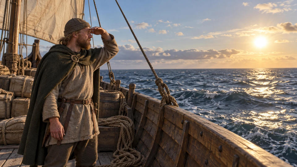
Birds and other environmental observations could contribute clues, especially nearer land. They did not provide an infallible bearing or a precise distance to an island. The museum's account of nature and sense navigation describes a collection of observations interpreted through experience. A bird sighting makes more sense alongside other information than as a universal substitute for a compass.
This distinction separates steering from locating yourself. Keeping the bow aligned with an observable reference does not establish an exact position. Conversely, recognizing a known headland can greatly reduce uncertainty without producing coordinates. These are different navigational tasks, so evidence for one should not automatically be treated as evidence for the other.
What the Ships and Modern Trials Reveal
Navigation also depended on the vessel carrying the observers. Skuldelev 1 preserves evidence for a substantial Norwegian cargo ship, built around 1030. Its heavy pine planking and broad, rounded form suited carrying freight in exposed waters. It had working decks at the ends and an open hold amidships. A cargo vessel of this kind presents a different picture from the narrow warship often used to illustrate every Norse voyage.
The surviving timber supports conclusions about construction. It does not reveal every decision made aboard a particular crossing. Nor should a ship's potential operating range be confused with a documented itinerary. The museum discusses several waters such a trader could have sailed; that possibility is not a recovered logbook proving its presence in each of them.

Modern reconstructions help researchers investigate the relationship between hull, sail and crew. The museum's Ottar, built in 1999–2000, reconstructs Skuldelev 1. Its experimental equipment has included a densely woven wool sail and rigging made from natural materials. The museum identifies the vessel with the cargo-ship category known as a knarr, while cautioning against assuming this particular original necessarily voyaged to Greenland.
Such work tests what a reconstruction can do under stated conditions. It cannot demonstrate that every original ship carried identical equipment, or that every successful modern technique was a standard Viking practice. Material evidence and experimental results answer related but separate questions.
A useful example comes from helmsman Klaus Kay's 2019 account of steering Ottar. He describes using the sun, wind, waves and swell, with occasional compass and chart checks. A distant celestial reference can help a helmsman manage the ship's tendency to swing from side to side. This is practical testimony about a modern crew aboard a reconstruction, not evidence of an ancient voyage conducted under exactly the same procedures.
Together, the wreck and the trials make the subject more tangible. One provides physical remains; the other records modern experience. Neither removes the need to state what remains uncertain about historical navigation.
Sun Compasses and Sunstones: Where Evidence Ends
A sun compass uses a shadow rather than magnetism. A vertical pointer casts that shadow onto a marked surface, whose useful curves depend on location and season. A carved wooden disk fragment recovered in Greenland in 1948 has been interpreted as part of such an instrument. The Viking Ship Museum treats this as a plausible interpretation, while emphasizing how limited the evidence for navigational equipment remains.
The same caution applies to latitude. Recognizing the sun's direction is not equivalent to proving a standardized system for measuring latitude aboard Viking ships. The museum notes that such measurement is not known from Viking times, and that astrolabes or quadrants used elsewhere cannot simply be added to a Norse navigator's kit. Its discussion of instrument navigation distinguishes possibilities from securely established practice.
Sunstones introduce a different question. Researchers have investigated whether crystals could reveal information about a hidden sun through polarized skylight. The Royal Society's 2011 report on experimental research discusses transparent calcite, known as Iceland spar, as a possible material. The optical mechanism gives the proposal scientific substance: it asks what light and a crystal could allow an observer to infer under suitable conditions.
But a successful physical test is not proof of historical use. The museum reports no archaeological navigation “sunstone” find establishing this practice for Viking sailors. Saga references also do not supply a complete, verified shipboard operating manual. The responsible conclusion is that crystal navigation is a researched possibility, rather than a demonstrated routine shared by Norse crews.
All three accompanying images are AI historical reenactments. Their people, exact ship arrangements and unnamed coastline are illustrative, not recovered records. No speculative crystal or shadow instrument is shown as securely attested equipment.
Conclusion
Viking navigation is best explained through learned observation and capable ships, with possible instruments assessed separately. Coasts, the sky and experience supplied information, while weather and visibility imposed limits. Archaeological fragments and modern trials deepen the explanation without solving every detail. The enduring achievement lies in practical knowledge that supported seafaring, even though much of its everyday transmission left no surviving manual.
Sources & Further Reading
- Viking Ship Museum: Nature and sense navigation
- Viking Ship Museum: Instrument navigation in the Viking Age?
- Viking Ship Museum: Skuldelev 1 - The ocean-going trader
- Viking Ship Museum: Ottar - Reconstruction of Skuldelev 1
- Royal Society: Mysteries of the Viking sunstone
- Viking Ship Museum: About steering OTTAR after the sun and stars