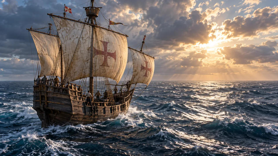
How could a ship cross an ocean when its navigator could not reliably tell how far east or west it had traveled? The answer was not one secret instrument. Sailors combined observations of the sky, estimates of their progress, knowledge of winds and currents, and a careful search for land.
Knowing an exact position would have been immensely useful, but an ocean voyage was possible without it. The challenge was to keep the ship heading toward a reachable coast or island, even when the map position remained uncertain.
Latitude Gave Sailors One Reliable Coordinate
Latitude tells you how far north or south you are. Unlike longitude, it can be estimated from the height of certain celestial bodies above the horizon. In northern waters, the height of the North Star offers a useful guide. Elsewhere, navigators could observe the Sun and apply calculations suited to the date and place.
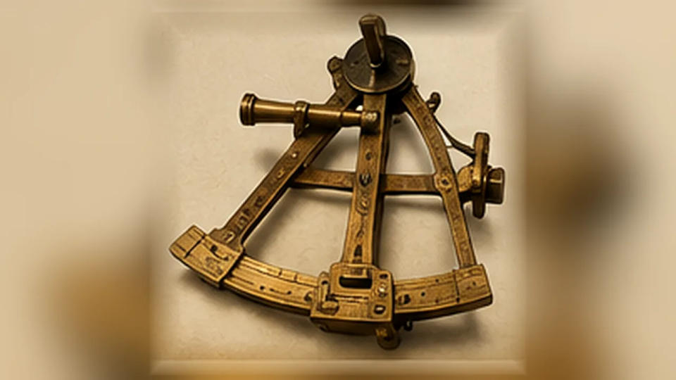
European sailors in the age of Atlantic exploration used instruments such as the mariner’s astrolabe and later the cross-staff to take these measurements. The methods were not effortlessly precise: rolling decks, an unclear horizon, and imperfect instruments all introduced errors. Nevertheless, a latitude observation could reveal whether a vessel had gone too far north or south.
This was an enormous advantage. Imagine aiming for a port whose latitude is already known. A navigator might first sail to roughly that parallel, then continue east or west while watching for the expected land. The method, often called running down the latitude, did not tell sailors exactly how far remained. It made one dimension of their uncertainty more manageable.
And the sky was not the whole story. Mariners also needed an estimate of the distance traveled between reliable observations.
Dead Reckoning Filled in the Missing Distance
On a long passage, a navigator could begin with the last known position, record the ship’s course, estimate its speed, and calculate how far it had traveled. This process is called dead reckoning. It supplied a working position even when no land was visible and clouds obscured the stars.
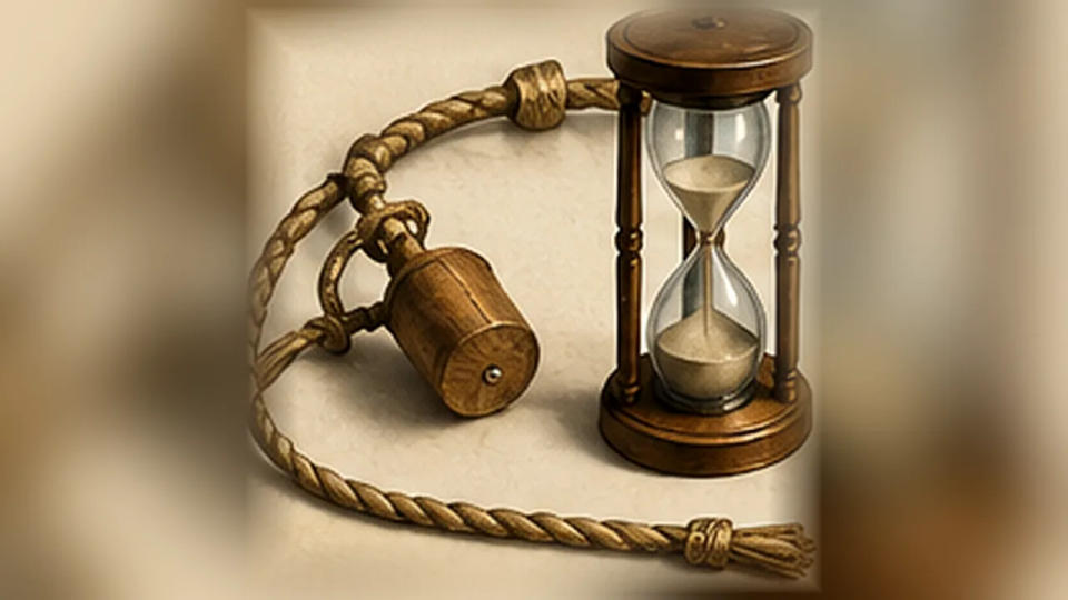
A compass provided direction. In later sailing practice, a log line helped crews estimate speed through the water, while an hourglass marked the measuring interval. A written log could preserve the succession of headings and distances. Together, these observations let the navigator sketch a probable track across the chart.
The weakness was cumulative error. Wind could push a vessel sideways; currents could carry it without any obvious change in the ship’s heading. Even a small error in speed, repeated over many days, might leave the calculated position far from the real one. Dead reckoning was therefore an estimate to revise, not proof that the ship was at a particular coordinate.
That distinction explains why experienced navigators valued a route as much as an instrument: the sea itself offered patterns that made some passages more predictable than others.
Winds, Currents, and Latitude Shaped Ocean Routes
Long-distance sailors learned that the shortest line on a map was not always the fastest, or even the most practical, course under sail. Near the tropics, persistent easterly trade winds helped carry ships westward. Different wind belts could assist return passages. Sailors who understood these broad patterns could plan voyages that worked with the prevailing conditions rather than constantly fighting them.
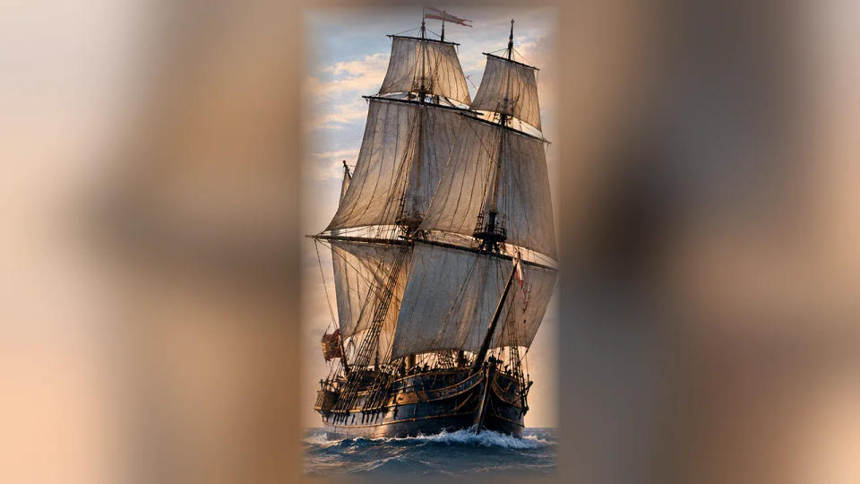
Such routes were not perfectly dependable. Winds changed, storms disrupted plans, and an unfamiliar current could undo days of careful calculation. Still, navigational knowledge accumulated through repeated voyages: where favorable winds were usually found, which coasts were dangerous, and which approaches offered recognizable landmarks.
Landfall could be planned with error in mind. A navigator might seek a broad coast first rather than a narrow harbor entrance. Once land appeared, coastal observations and known features could help refine the route. This reduced the demand for an exact longitude at every moment of the crossing.
Reaching land was not the same as reaching it safely. A coastline could hide shoals, reefs, or an unexpected headland. The cost of an inaccurate position became greatest near hazards, when there was little room left for correction.
Pacific Navigators Read the Ocean Differently
There was no single worldwide tradition of navigating without longitude. Polynesian voyagers crossed great stretches of the Pacific using detailed knowledge of the rising and setting of stars, changing winds, ocean swells, and clues associated with nearby islands. Their skills should not be reduced to guesswork or treated as a crude version of European chart navigation.
Many of the details of the earliest voyages cannot be reconstructed with certainty: navigational knowledge was often passed on orally, and surviving evidence is incomplete. But Indigenous knowledge and modern voyages demonstrating traditional techniques make clear that navigators could orient themselves without a European-style longitude calculation.
In the Marshall Islands, specialist navigators developed an especially sophisticated understanding of wave patterns. Surviving stick charts, made from wooden strips and shells, helped convey knowledge about swell behavior and the relationships among islands. They were not simply miniature versions of modern maps; their meaning depended on expert instruction.
Birds, clouds, and changing wave patterns could also help when approaching land. None guaranteed a sighting. Together with long-practiced observation, they offered more information than an empty horizon might seem to provide.
Why Accurate Longitude Changed Navigation
Longitude is harder because the sky does not provide an obvious fixed east–west reference comparable to the North Star for northern latitude. One practical solution is to compare local solar time with the time at a known reference meridian. A difference of one hour corresponds to 15 degrees of longitude. The difficult part was keeping dependable reference time aboard a moving ship.
In the eighteenth century, British clockmaker John Harrison developed marine timekeepers that proved accurate time could be maintained at sea. His celebrated H4 underwent ocean trials in the 1760s. Astronomers meanwhile advanced another approach, the lunar-distance method, using observations of the Moon and published tables to work out reference time.
Neither innovation instantly equipped every ship. Marine chronometers were initially costly, and lunar-distance calculations demanded training and effort. Accurate longitude became more widely practical as instruments, tables, and timekeepers improved and spread.
What changed was not humanity’s ability to cross oceans. Sailors had already done that for centuries. What improved was their ability to know where they were, choose safer approaches, and correct their course before a small uncertainty became a disaster.
Conclusion
Before accurate longitude, ocean travel depended on layered judgment rather than a perfect position fix: latitude, estimated distance, familiar winds, the signs of land, and hard-earned knowledge. The methods had serious limits, but they were powerful enough to connect distant shores long before a reliable sea clock.
Sources & Further Reading
- Royal Museums Greenwich — What Is Longitude?
- NOAA — History of Nautical Chart-Making
- NOAA — What Are the Trade Winds?
- Smithsonian — Early Voyages
- Smithsonian Ocean — Navigating with Micronesian Stick Charts
- Royal Museums Greenwich — Harrison's Timekeepers and the Longitude Problem