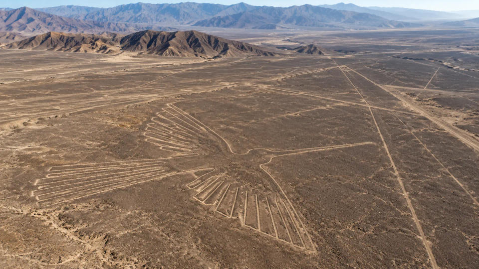
Why would people spend generations clearing stones from a desert floor to create animals, spirals, straight lines, and enormous geometric shapes? The best archaeological answer today is not a single dramatic explanation. The Nazca Lines appear to have formed part of a sacred and social landscape used over centuries for ritual activity, movement, gathering, and communication, with different kinds of geoglyphs likely serving different purposes.
The famous designs lie on the arid coastal plain of southern Peru. UNESCO places the main creation of the lines and geoglyphs between about 500 BC and AD 500, with important Paracas and Nasca phases. Their survival is partly due to the extreme dryness of the region. The makers generally created them by removing dark, weathered surface stones and exposing the lighter ground beneath.
A Sacred Landscape Made by Removing Stone
The Nazca Lines are often presented as if someone designed one enormous picture all at once. Archaeology points to something much more gradual. Thousands of lines, geometric forms, and figures accumulated across a large landscape, sometimes crossing or overlapping earlier works. That long sequence matters because it suggests that geoglyph making was a continuing cultural practice rather than a single project with one fixed purpose.
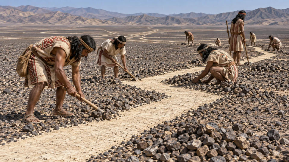
The chronology is not perfectly uniform. UNESCO’s broad synthesis emphasizes activity from the late first millennium BC through the first half of the first millennium AD, while scientific dating at specific geometric-line sites near Palpa has produced dates extending into roughly AD 400–650. That does not overturn the earlier chronology; it shows that the tradition changed through time and may have continued in some places later than the best-known Nasca phase. A line made in one century need not have carried exactly the same meaning as a nearby figure made generations earlier.
UNESCO describes the area as a highly symbolic, ritual, and social cultural landscape. Some designs depict animals, birds, plants, and other recognizable forms. Others are straight lines, triangles, rectangles, spirals, and trapezoids stretching across the pampas. There are also broad cleared areas or “tracks” that appear suitable for groups of people to move along them.
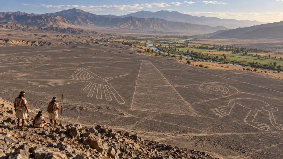
This helps explain an important point: the lines did not need to be viewed only from the air. Their enormous scale is striking from above, but the people who made them experienced the landscape from the ground, nearby hills, and paths. The act of approaching, walking, gathering, and seeing selected forms from particular places may have mattered as much as seeing a complete outline.
Walking the Lines May Have Been Part of the Ritual
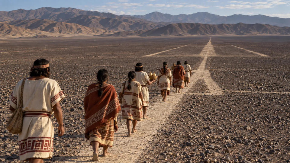
One of the strongest modern interpretations treats at least some lines as routes for ceremonial movement. Archaeologists Clive Ruggles and Nicholas Saunders studied the ground-level experience of a complex set of lines and argued that it functioned like a labyrinthine itinerary. In that interpretation, meaning came through movement: people followed a prepared route, changed direction, and participated in a structured journey across the desert.
The images themselves also connect the desert to the wider visual world of Nasca culture. Birds, plants, animals, and supernatural beings appeared on ceramics and textiles as well as in geoglyph form. The Metropolitan Museum of Art notes that Nasca religion placed strong emphasis on plants, animals, fertility, and regenerative themes. That does not let archaeologists translate each geoglyph like a written sentence, but it does make the figures easier to understand as part of a recognizable religious and artistic tradition rather than isolated puzzles.
That idea fits broader evidence that the landscape had a ceremonial role. A procession could bring people together, connect settlements with sacred places, or mark repeated communal events. The lines may therefore have been less like modern “drawings” and more like spaces that people used.
Recent research has made this interpretation more specific. A 2024 study led by Yamagata University, using artificial intelligence to identify promising locations for field survey, documented 303 previously unknown figurative geoglyphs in only six months. The expanded sample showed a notable pattern: large line-type figures, often representing wild animals, were associated with networks of straight and trapezoidal geoglyphs. The researchers interpret these as likely connected with community-level ritual activities.
Water, Mountains, and the Sky May Have Added Meaning
Life in the Nasca region depended on water moving down from the Andes into an extremely dry coastal environment. That reality makes it understandable that researchers have long looked for connections among geoglyphs, water, mountains, fertility, and seasonal cycles. In the wider Andean world, mountains and water could carry religious meaning, so the surrounding landscape cannot be treated as an empty background.
Astronomy has also played a major role in the history of Nazca research. Some early investigators proposed that lines marked important solar positions or functioned as a giant calendar. UNESCO still notes that ritual-astronomical functions may have been among their uses. Yet the immense number of lines, their different dates, their overlapping arrangements, and their varied relationships with paths and figures make a single universal “astronomical calendar” explanation difficult to apply to the whole complex.
That does not mean the sky was irrelevant. Specific lines or places may have carried astronomical meaning, just as other features may have related to water, mountains, pilgrimage, or local sacred geography. The safer conclusion is that the Nazca landscape probably supported several kinds of meaning at once. A society can use the same ceremonial place for movement, worship, seasonal observance, and social gathering without reducing it to only one function.
New Discoveries Suggest Different Lines Had Different Jobs
The most important change in recent research is the growing evidence that not all Nazca geoglyphs belonged to the same category. The Yamagata University team distinguishes huge line-type figures from smaller relief-type geoglyphs. The smaller examples often depict humans, domesticated camelids, and other motifs connected with human activity. Many lie within viewing distance of winding trails.
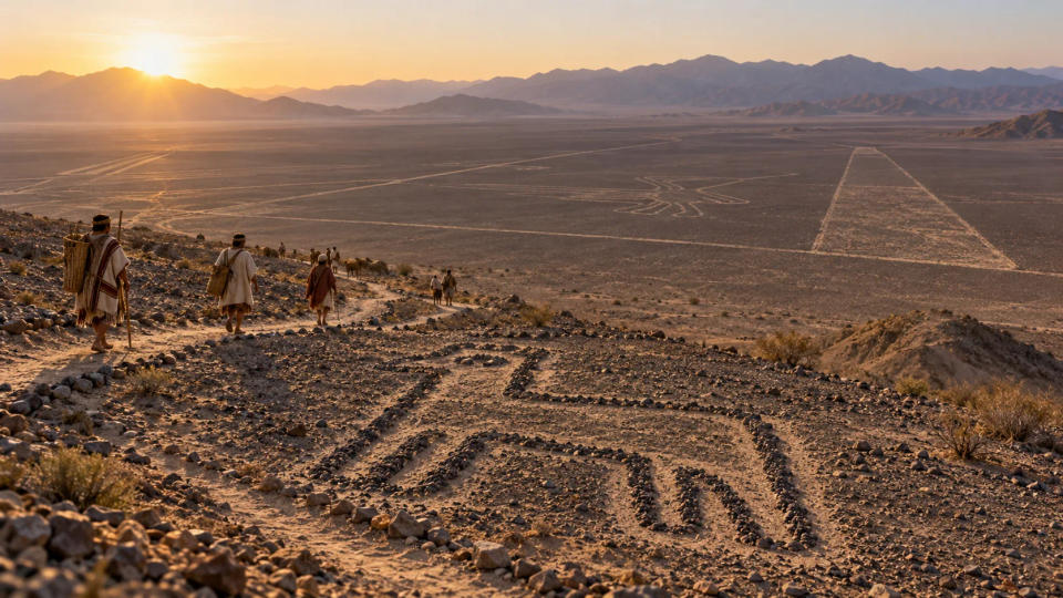
The researchers suggest that these smaller geoglyphs may have been made for individuals or small groups moving along the trails, almost like visual markers that communicated socially important information. That is very different from imagining every Nazca figure as a giant symbol intended for the same audience. Meanwhile, the larger line-type figures appear more closely tied to communal ceremonial spaces.
This distinction also explains why the question “Why were the Nazca Lines created?” may never have a one-sentence answer. The tradition lasted for centuries and involved different communities, motifs, scales, and routes. Some figures may have helped structure ritual processions. Others may have marked places, conveyed information, or reinforced relationships among people, animals, mountains, water, and sacred space. Archaeology is increasingly replacing one grand theory with a more detailed picture of a living cultural landscape.
Conclusion
The Nazca Lines were probably created for several related reasons rather than one hidden purpose. The strongest evidence points toward ritual movement, community ceremonies, sacred landscape-making, and communication along ancient routes. Astronomical and water-related meanings may have mattered in particular settings, but they do not explain every line. New discoveries continue to show that the desert was not a blank canvas filled with mysterious pictures; it was a landscape people repeatedly entered, altered, walked, and gave meaning to.
Sources & Further Reading
- UNESCO World Heritage Centre — Lines and Geoglyphs of Nasca and Palpa
- Peru Ministry of Culture — Geoglyphs in Palpa and their cultural context
- Yamagata University — AI-accelerated Nazca survey and new evidence about geoglyph purpose
- Antiquity — “Desert labyrinth: lines, landscape and meaning at Nazca, Peru”
- Antiquity — “Dating the geometric Nasca lines in the Peruvian desert”
- The Metropolitan Museum of Art — “Birds of the Andes”