In the fourteenth century, someone studying the Gough Map of Britain could see towns linked by red route lines, with distances written between many of them. So medieval Europe was not literally a world without maps. The difference is that most travelers did not navigate by unfolding a detailed road map at every junction.
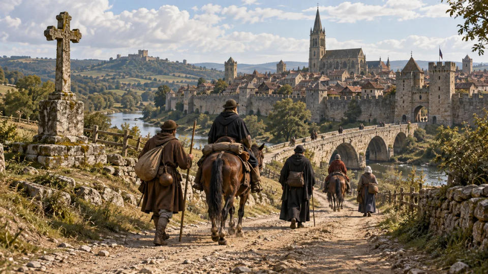
Instead, overland travelers in medieval Europe moved through a landscape they could read. Established roads, river crossings, town gates, churches, roadside crosses, inns, and the advice of people along the way formed a practical navigation system. On famous pilgrimage routes, travelers could also rely on written itineraries and a chain of places built to receive them. The journey was usually planned from one known stage to the next, not as a continuous line viewed from above.
Roads and Landmarks Did Most of the Work
For many journeys, the road itself was the first guide. A traveler leaving one market town for another usually did not need a precise picture of every bend. The important question was whether the road led toward the next recognizable stage: a bridge, a walled town, a monastery, a river crossing, or a major junction.
These routes were not always neat highways. Medieval roads could become deeply rutted, muddy, or difficult in bad weather, and some routes shifted over time. Yet major lines of movement tended to persist because travelers repeatedly needed the same bridges, passes, fords, ports, and towns. Research on the movements of King John and later English rulers shows how long-established road corridors could remain important for centuries.
Way-marking also existed, although it was not standardized like modern road signs. Historic England notes that in medieval England, the Church often played a role in keeping routes recognizable, and roadside crosses could serve as markers. Such crosses were religious objects first, but in a landscape with few formal signs they could also confirm that a traveler was still on a known route.
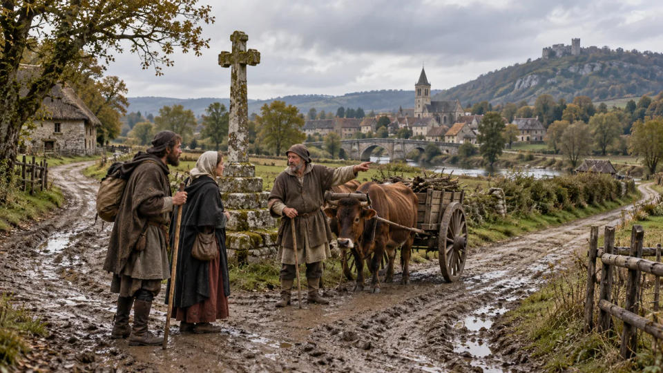
Local knowledge filled the gaps. At a village, bridge, inn, or market, a traveler could ask which road led to the next town, whether a river was passable, or where the safest lodging could be found. Navigation was therefore social as much as geographical: knowing whom to ask could matter almost as much as knowing where north was.
Pilgrimage Routes Became Navigation Networks
Long-distance pilgrimage created some of the best organized travel corridors of the Middle Ages. The routes to Santiago de Compostela, Rome, and other major shrines drew travelers from many regions, encouraging the growth of bridges, churches, hospitals, hospices, and lodging places along heavily used paths.
UNESCO describes the Santiago routes as a network marked by churches, hospitals, bridges, roadside crosses, and towns that served generations of pilgrims. These places did more than offer food or worship. They broke an intimidating journey into recognizable stages. A traveler might think less in terms of a continuous line on a map and more in terms of reaching the next known stop.
The twelfth-century guide associated with the Codex Calixtinus is especially revealing. Its Book V described the route toward Santiago and listed facilities and places useful to pilgrims. That is much closer to an itinerary or travel handbook than to a modern road atlas: it told a traveler what came next and what to expect along the way.
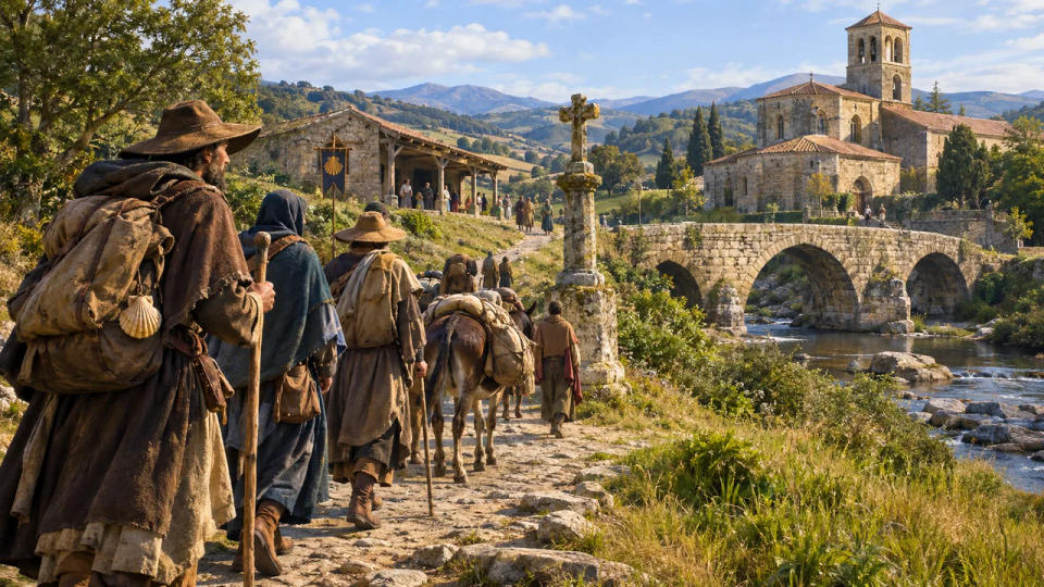
A similar pattern appears on the Via Francigena. In 990, Archbishop Sigeric of Canterbury recorded 79 stages from his journey connected with Rome. The record did not function like turn-by-turn GPS. Its value was the sequence of stopping places. If travelers knew the next destination and could keep joining the roads used by other pilgrims, merchants, clergy, and messengers, they could make progress across enormous distances without carrying a modern-style map.
Directions Were Often Carried in Memory—or as an Itinerary
Medieval navigation was often based on sequences: leave this town, cross that river, reach the abbey, then continue toward the next market center. Much of that information could be remembered, repeated by other travelers, or learned at the previous stop. A route could be understood as a chain of places rather than as a bird's-eye diagram.
That does not mean maps were useless or unknown. The Gough Map, dated to about 1360, is the earliest surviving map to show routes across Britain and a recognizable coastline. Many settlements are connected by straight red lines, with Roman numerals showing distances. It proves that medieval cartographers could represent route relationships in a surprisingly practical way. Mariners developed their own navigational traditions, including compasses and coastal charts, but overland wayfinding remained much more dependent on roads, stages, and local knowledge.
But surviving maps like the Gough Map were exceptional objects, not evidence that ordinary travelers routinely carried pocket maps. Medieval maps also served many purposes beyond navigation, including administration, learning, religion, and political display. For an everyday traveler, information exchanged on the road was often more immediately useful than owning an expensive manuscript.
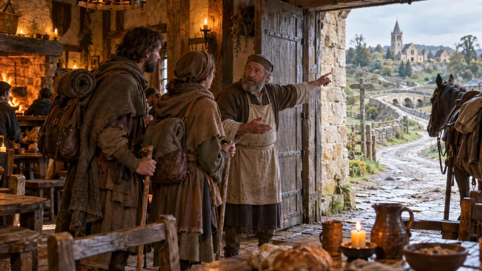
Travelers also reduced uncertainty by moving with others. Pilgrims, merchants, royal households, messengers, and armed escorts could share knowledge of roads and stopping places. Familiarity accumulated along busy corridors: innkeepers knew the next lodging, ferrymen knew river conditions, and residents knew which fork led toward the next town. The route existed not only on the ground but in a network of human memory.
Conclusion
Medieval travelers did not wander blindly through an unmapped world. They followed known roads, read landmarks, used bridges and religious sites as anchors, asked for directions, and relied on itineraries that listed the next stage of a journey. Maps existed, but for most travelers the most dependable navigation system was the landscape itself—supported by the people who lived along the road.
Sources & Further Reading
- Bodleian Libraries — The Gough Map conservation project
- UNESCO World Heritage Centre — Routes of Santiago de Compostela in France
- Historic England — Early post-medieval guide post at Bowden
- Council of Europe — Via Francigena
- University of Cambridge — On the trail of King John
- Smithsonian Institution — Time and Navigation: Magnetic Compass